Mapinna.
The fastest way to convert your device's photo gallery into an interactive, shareable KMZ file.
Coming Soon to Google Play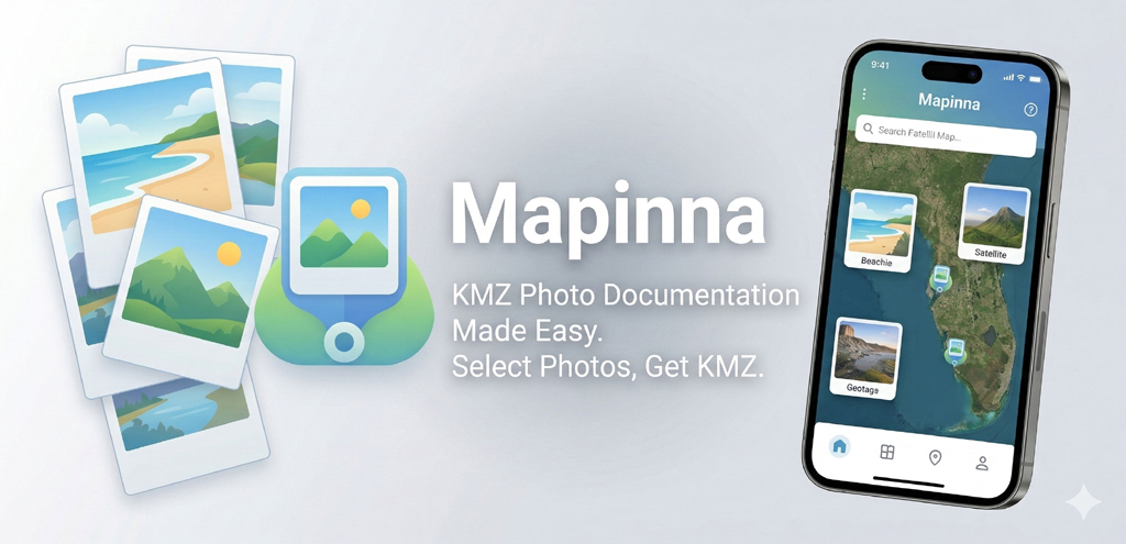
The fastest way to convert your device's photo gallery into an interactive, shareable KMZ file.
Coming Soon to Google Play
Creating KMZ map files from geotagged field photos shouldn't require desktop software. Whether you are documenting a Florida site inspection, compiling soil boring photos, or mapping out field coordinates, Mapinna simplifies the process. If your photos have GPS metadata, Mapinna will map them directly from your phone.
Quickly select multiple images directly from your device's photo gallery without moving files around.
Mapinna automatically extracts embedded latitude and longitude data from image EXIF metadata.
Compile selected photos and locations into a single, standard .kmz archive instantly.
Immediately export and share finished KMZ files with family, friends, or coworkers via your native share menu.
Mapinna is a local utility. We prioritize your privacy and do strictly local processing. We do not upload your photos, galleries, or location data to any external servers. All KMZ processing happens safely and directly on your own phone.
Choose your site inspection photos.
Mapinna extracts the EXIF data.
Preview your mapped photo pins.
Share the final .kmz file with your team.